The Map That Lied to Me
I was looking at old Kentucky topographical maps when I found a ghost. Neatsville wasn't just a dot on a page; it was a functioning ecosystem of human lives until the U.S. Army Corps of Engineers decided the Green River needed to be tamed. By the time the Green River Lake dam was completed in 1969, Neatsville was gone, swallowed by a planned flood that turned a valley of tobacco farms into a weekend destination for pontoon boats.
It makes me wonder about the specific moment a town stops being a home and starts being a 'project area.' Is it when the first surveyor stakes a neon ribbon into a garden? Or is it the day the post office stops delivering mail because the zip code has been marked for drowning? Neatsville didn't just vanish; it was dismantled, its buildings burned or moved, its cemeteries relocated with a clinical efficiency that feels both impressive and terrifying.
The Engineering of Erasure
The mid-century logic of the Army Corps was remarkably simple: the many outweigh the few. To prevent downstream flooding in larger cities and to create a reliable water supply, small Appalachian settlements like Neatsville were treated as acceptable collateral. We call this 'managed retreat' now, but in the 1960s, it was just called progress. The Corps didn't just build a dam; they redesigned the geography of an entire region, prioritizing hydraulic stability over social continuity.
- The Green River Lake project required the acquisition of nearly 34,000 acres of land.
- Entire family lineages were uprooted from soil they had worked since the early 1800s.
- The 'New Neatsville' that emerged on higher ground never quite captured the soul of the original river-bottom settlement.
I find myself obsessing over the logistics of moving a cemetery. How do you decide which headstones are sturdy enough to travel? There is a cold, mathematical reality to federal eminent domain that treats a town like a Lego set that can simply be snapped apart and reassembled elsewhere. But culture isn't a Lego set. It’s the moss on the north side of a specific oak tree and the way the fog sits in a specific bend of the river. When you flood the bend, you drown the context.
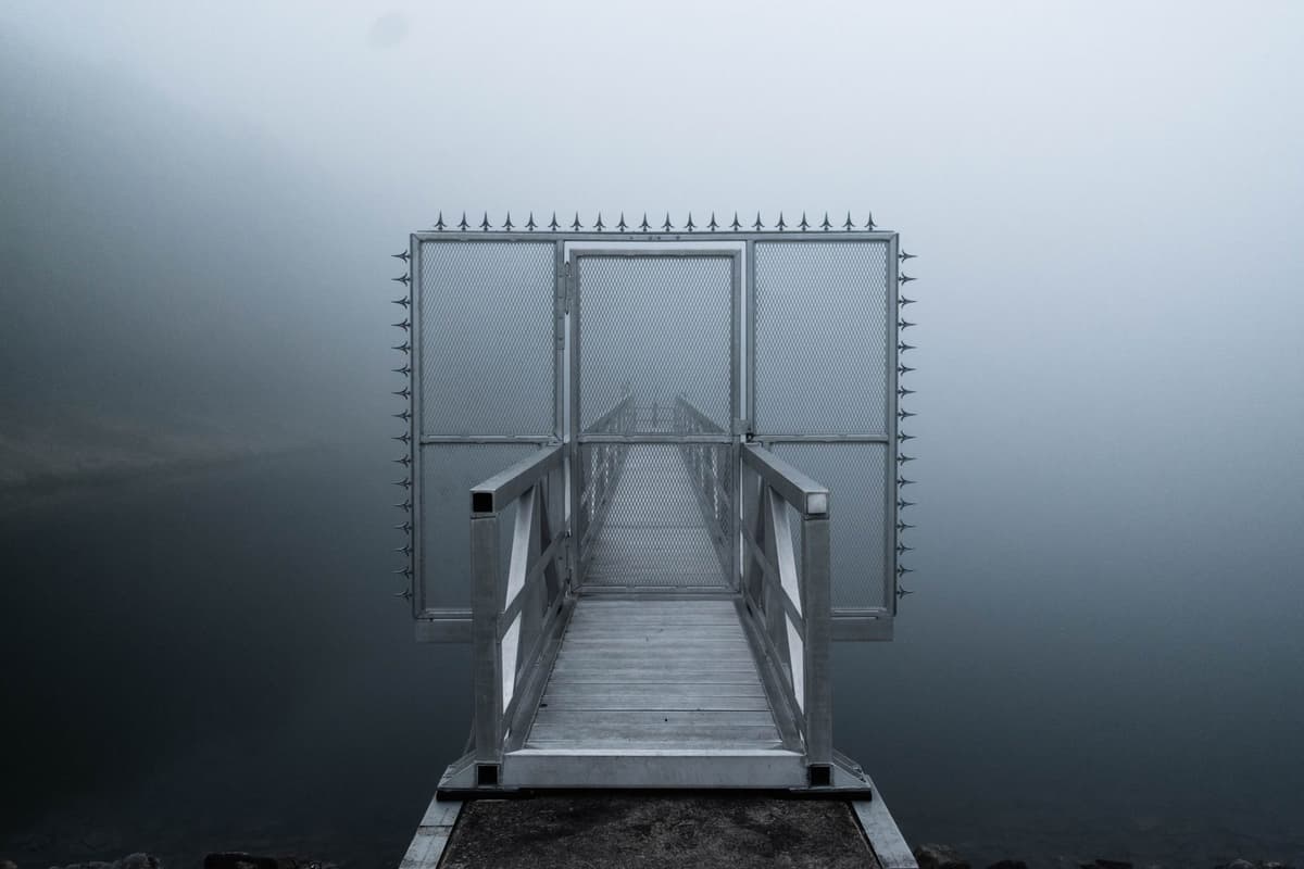
Photo by Suena Bennett on Pexels
What the Foundation Stones Remember
Modern urban planners are looking back at these 'sacrificed settlements' with a new kind of intensity. As sea levels rise and we discuss moving coastal populations inland, Neatsville serves as a blueprint for what happens when the government decides a place is no longer viable. We see the physical remains—the concrete foundations visible only during a drought—but we rarely see the data on the social fraying that follows.
When a community is forcibly relocated, the invisible infrastructure breaks first. The neighborly favors, the shared tools, and the collective memory of who lived where don't always survive the climb to higher ground. Resilience isn't just about building a wall or a dam; it's about the social glue that keeps people from drifting apart when the landscape changes. I wonder if the engineers in 1965 even had a line item in their budget for 'loss of neighborly trust.'
The Price of Dry Feet
We often talk about the 'social cost' of infrastructure as an abstract concept, but it's actually quite concrete. It’s the $30 million (in 1960s dollars) spent on a dam versus the uncalculable value of a century of local history. If we are going to face a future where more towns must be moved due to climate change, we have to ask: are we just moving bodies and buildings, or are we trying to save the community itself?
Neatsville was a sacrifice made for the safety of others. That’s a noble idea on paper, but standing on the shore of Green River Lake, it feels more like a quiet tragedy. We’ve become very good at moving water. We are still exceptionally bad at moving the things that make us human. Looking at those submerged remains, I can't help but think that the real 'resilience' wasn't in the dam—it was in the people who had to figure out how to be a community when their world was literally underwater.
What This Actually Means
The story of Neatsville isn't just a footnote in Kentucky history; it’s a warning for the next century of urban planning. As we move into an era where 'managed retreat' becomes a common phrase in coastal boardrooms, we need to realize that you cannot just copy-paste a town. The hydraulic planners of the mid-century were geniuses of fluid dynamics, but they were amateurs in human geography. They solved the problem of the river but created a problem of displacement that still echoes in Appalachian memory.
True resilience requires more than just an elevation map. It requires an understanding that a town is a living organism, not a collection of assets to be liquidated. If we continue to treat rural communities as disposable zones for the benefit of the 'greater good,' we will eventually find that we have protected our infrastructure but lost our identity. The ghosts of Neatsville are still there, under forty feet of water, reminding us that every reservoir is a graveyard of things we couldn't figure out how to keep.
Quick Answers
Was Neatsville the only town moved?
No, the Army Corps of Engineers relocated dozens of communities across the U.S. in the mid-20th century to create reservoirs for flood control and recreation.
Can you still see the old town?
During extreme droughts or planned 'drawdowns' of the lake level, foundations and old roadbeds occasionally breach the surface, offering a haunting glimpse of the original grid.
Was the relocation successful?
Physically, yes—people were moved and the dam works. Socially, it's complicated, as many families felt the compensation was inadequate and the loss of ancestral land was traumatic.