The Data We Step Over Every Day
I walked past a fire hydrant this morning and realized I have no idea who owns the data describing its existence. In the grand hierarchy of information, we’ve prioritized the 'macro'—the highways, the skyscrapers, the retail hubs—while leaving the 'micro' to drift into a sort of cartographic purgatory. It’s strange that we live in an era of satellite surveillance and yet a city government might take three years to update a database on bicycle rack locations.
StreetComplete landing on iOS feels like a glitch in that bureaucratic lag. It’s an open-source tool that asks you simple, localized questions: Is this road paved? Does this crossing have tactile paving for the visually impaired? How many bicycles can fit here? By stripping away the complexity of traditional GIS software, it transforms the walk to get a bagel into a high-fidelity audit of the physical world. I wonder if we’ve been waiting for 'smart cities' to be built from the top down when we could have been knitting them together from the sidewalk up all along.
There is something deeply human about the impulse to label. We are essentially becoming a decentralized army of micro-surveyors, filling in the gaps that the Google Maps cars—with their roof-mounted cameras and indifferent algorithms—simply don't care about. A car driving at 30 miles per hour doesn't see the texture of a curb. A person walking at 3 miles per hour sees everything.
The Architecture of the Quest
What fascinates me most isn't just the data collection; it’s the psychology of the interface. StreetComplete uses gamification, but not the gross, dopamine-milking kind found in mobile casinos. It’s more like a digital scavenger hunt for reality. When you open the map, you see 'quests'—little icons representing missing information. You aren't just 'contributing to a database'; you are solving a puzzle that exists in the physical space right in front of you.
- It democratizes the map by removing the gatekeepers of 'official' data.
- It creates a feedback loop where residents, not consultants, define what features matter.
- It forces us to actually look at our environment instead of staring through it.

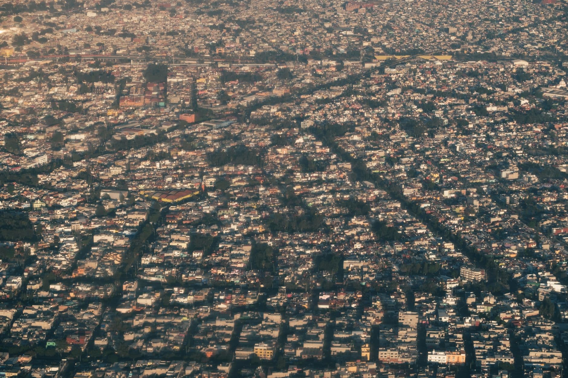
Photo by Theo Decker on Pexels
Think about the sheer scale of OpenStreetMap (OSM), the backbone of this whole experiment. As of early 2024, OSM has over 10 million registered users. That is a staggering amount of free labor, but it doesn’t feel like work when you’re doing it. I’m curious if this model could eventually replace municipal surveys entirely. Why pay a firm $50,000 to survey street lighting when 500 neighbors with iPhones can do it for the price of a little bit of battery life and a sense of civic pride?
Shifting the Burden of Proof
Usually, if a sidewalk is broken or a ramp is missing, the burden of proof is on the citizen to complain to a non-responsive 311 line. This app reverses that flow. By mapping the 'micro-infrastructure,' we are creating a digital twin of the city that is more honest than the one the city council uses. If the map shows that 40% of the intersections in a neighborhood lack tactile paving, that isn't an opinion anymore—it’s a data point that can be used to demand change.
I wonder what happens to our relationship with the city when we start seeing it as a series of editable fields. Does a bench become more 'ours' because we were the ones who told the world it was made of wood and had no armrests? There is a quiet power in being the person who validates the existence of a small, forgotten alleyway. It’s a way of saying: 'I was here, and this place matters.'
There is a risk, of course. Not every neighborhood has an equal number of people with $800 iPhones and the leisure time to map bicycle racks. This could lead to 'data deserts' where the wealthiest areas are mapped to the centimeter while marginalized neighborhoods remain invisible blurs. We have to ask ourselves how we ensure this 'democratization' doesn't just become another way to prioritize the places that are already well-served.
What This Actually Means
We are moving toward a world where the map is no longer a static document handed down by authorities, but a living, breathing conversation. StreetComplete on iOS isn't just an app; it's a bridge between the digital world and the physical obstacles that dictate our daily lives. It turns the 'user' of a city into a 'maker' of the city, one checkbox at a time.
Ultimately, this is about the death of the 'black box' city. When we can see the gaps in our infrastructure as clearly as we see the stars on a GPS, the excuses for poor urban planning start to evaporate. We are no longer just inhabitants; we are the stewards of our own geography. I’m going for a walk now, and I suspect I’ll be looking at the pavement differently than I did yesterday.
Quick Answers
Is my data being sold to advertisers?
No, StreetComplete contributes directly to OpenStreetMap, which is a non-profit, open-data project. The information you collect is public and free for anyone to use, from humanitarian teams to app developers.
Do I need to be an urban planner to use it?
Not at all. The app asks simple questions like "What kind of surface is this?" or "Is there a crosswalk here?" that anyone with eyes can answer.
Why does this matter for my daily life?
Better data means better routing for everyone. If you’ve ever tried to navigate a stroller or a wheelchair through a city, you know that knowing where a single curb cut is can be the difference between a 5-minute walk and a 20-minute detour.