
I spent three hours yesterday watching a baker in 1917 Newark load rye loaves into a wooden cart while two boys sprinted backwards through moving traffic. He wasn't the star of the shot; he was just standing outside his shop while two melodramatic silent-era actors pretended to have an argument on the sidewalk. Yet the camera operator kept the lens open wide enough to capture the entire block behind them, humming with an intricate, self-organizing chaos that shouldn't have worked, but visibly did.
Historians call this emergent goldmine the "accidental archive." As thousands of hours of nitrate and acetate stock from 1915 to 1928 slip out of copyright and into open public-domain digitizers, researchers aren't watching the scripted plots. They are zooming past the lead actors into the corners, the shopfronts, and the curbs. What they are finding there fundamentally destabilizes the modern story of the American city.
The Accidental Orthographic Survey
For nearly a century, our understanding of pre-automotive American streets was built almost entirely on still photographs and municipal insurance maps. If you wanted to know what Market Street in San Francisco or Lower Manhattan looked like before the Great Depression, you turned to static 8x10 glass plates or colored Sanborn fire insurance maps drawn between 1867 and 1970.
Those maps are miracles of bureaucratic precision. They tell you where the brick gave way to timber, where the boiler lived, and where the water mains ran. But they are completely dead to the cadence of time.
Photo by Daniel Maforte on Pexels
Still photographs lie by omission, too. Early exposure times and the sheer cost of film meant people posed, cleared the street, or froze in place. They made the late-Victorian and Edwardian city look grand, stern, and largely empty. Film unmasks that lie instantly. When researchers run high-resolution 4K digital transfers of mundane b-roll and amateur location shoots from 1916, the static monumentalism dissolves into fluid, messy kinetic life. A single frame isn't architecture. Architecture, it turns out, was whatever happened between the storefront awning and the streetcar track over a thirty-minute window on a wet Tuesday afternoon.
The Street Was Not a Conduit
Watching this footage makes you realize that the fundamental premise of modern transit planning was invented from scratch, not inherited. In our heads, a street has always been an open pipe meant to move vehicles from point A to point B as quickly as possible. Pedestrians get the edges; cars get the center; cross only at designated intervals or face criminal penalties.
Look at three minutes of background footage shot along Cleveland's Euclid Avenue in June 1920, and that geometry evaporates. The street wasn't a pipe. It was a shared plaza that happened to have directional energy.
- Pedestrians crossed diagonally, constantly, without looking up or picking up their pace.
- Streetcars braked gently for fruit carts, whose vendors negotiated deals directly through open trolley windows.
- Children played marbles four feet from heavy commercial drays drawn by draft horses.
- Sidewalk merchants claimed two to five feet of the gutter as an informal extension of their storefronts.
There were virtually no lane markers. There were almost no pedestrian signals. You look at it through modern eyes and your chest tightens with anxiety because it looks like a mass-casualty event waiting to unfold. Yet nobody seems panicked. The speeds were low, the spatial negotiation was continuous, and eye contact was doing the work that we later delegated to millions of tons of concrete and automated light relays.
The Amnesia We Engineered
How did we forget that humans ever lived this way? Between 1924 and 1935, a deliberate political campaign swept the country to reframe public space. Automotive lobbies coined the term "jaywalking" to stigmatize the centuries-old custom of crossing a public road wherever one pleased. Then came mid-century single-use zoning, which legally separated where people slept from where they bought bread by distances no human could comfortably walk.
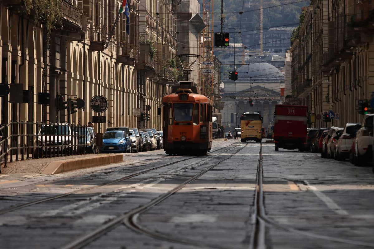
Photo by Efrem Efre on Pexels
Because that transition happened so quickly between 1945 and 1965, the generation that built postwar suburbia remembered the pre-car city only as dirty, congested, and obsolete. They flattened entire downtown districts under the banner of urban renewal because they genuinely believed dense pedestrian corridors were slums that needed modernizing.
By cross-referencing digitized footage from regional archives—like the Library of Congress's Paper Print Collection and overlooked regional newsreels—computational urbanists are now building 3D spatial models of vanished neighborhoods. When you map the walking speeds and interaction densities from a 1918 clip of Detroit against modern foot-traffic sensors in the same physical coordinates today, the contrast is stark. Modern downtowns, even thriving ones, possess a fraction of the micro-social transactions our great-grandparents engaged in every single morning on their way to work.
What This Actually Means
I don't harbor some naive, sepia-toned fantasy about 1915. Horse manure coated the cobblestones, coal soot coated your lungs, and the lack of basic municipal sanitation killed thousands of infants every summer. We shouldn't trade indoor plumbing and antimicrobial drugs for romantic streetcars.
What this archival film footage really offers is proof of concept. For the past seventy years, urban planners who advocate for traffic calming, pedestrianized zones, and mixed-use commercial storefronts have been treated like radical idealists trying to impose an untested European lifestyle on sensible Americans. Critics routinely claim that wide, multi-lane arterials with separated uses are simply the natural, inevitable state of American geography.
The silent reels demonstrate the opposite. Our car-centric infrastructure is the radical, untested historical anomaly, barely half a century old. Humans spent several thousand years perfecting the messy, walkable, multi-layered urban street, and we managed to abandon it in the span of a single career. The cameras didn't mean to record that lesson for us. They just pointed a lens at a joke on a sidewalk, caught a whole civilization in the background, and left the evidence running.
Quick Answers
Where is this footage coming from?
It lives primarily in public-domain repositories like the Library of Congress, the Prelinger Archives, and regional historical society vaults that are actively scanning early 35mm and 16mm celluloid.
Why wasn't this footage studied like this before?
Nitrate film is fragile and dangerous to handle, meaning researchers rarely had high-definition access to peripheral background details until affordable 4K frame-by-frame scanning and digital restoration became widespread over the last decade.
Are modern planners actually using early cinema to redesign cities?
Yes, researchers and spatial designers are increasingly extracting spatial-temporal data—like pedestrian walking trajectories and curb-use patterns—from early footage to design safer, human-scaled "shared space" streets today.