The Map That Isn't There
I spent three hours yesterday looking at digital overlays of Adair County, Kentucky, trying to find a ghost. Neatsville is gone, swallowed by the Green River Lake project in the late 1960s, but it’s the way it vanished that sticks in my throat. We usually think of ruins as accidental—the tragic result of fire, war, or economic rot—but Neatsville was a deliberate subtraction. Oak Street didn't crumble; it was decommissioned. The post office didn't close because people left; it closed because the geography itself was redefined by a dam.
There is something profoundly strange about a group of engineers sitting in a room and deciding that a specific set of coordinates has reached its expiration date. It makes me wonder if we’ve entered an era where permanence is actually a liability. If you build something to last forever, you’re betting against a climate and a hydrology that are increasingly unpredictable. Neatsville was an early sacrifice to hydraulic engineering, but it feels like a precursor to a much larger, quieter movement happening right now.
The Architecture of the Exit Strategy
Modern urban planners have started using a term that sounds like a polite breakup: "Managed Retreat." It is the clinical way of saying we are giving up on the land. In the case of Neatsville, the U.S. Army Corps of Engineers moved the entire town—or what was left of it—to higher ground. They didn't just move the people; they moved the graves. More than 500 bodies were relocated from the Neatsville Cemetery to make way for a reservoir.
When we talk about "Managed Retreat" today, we aren't just talking about flood zones. We are talking about a shift in the very philosophy of why we build. We used to build for the centuries. Now, I suspect we are building for the lease cycle of the environment. If a town in Kentucky can be erased for a $30 million dam project in 1968, what happens to the coastal suburbs of 2024? We are moving toward a "modular" existence where the streets are essentially temporary tattoos on the landscape.

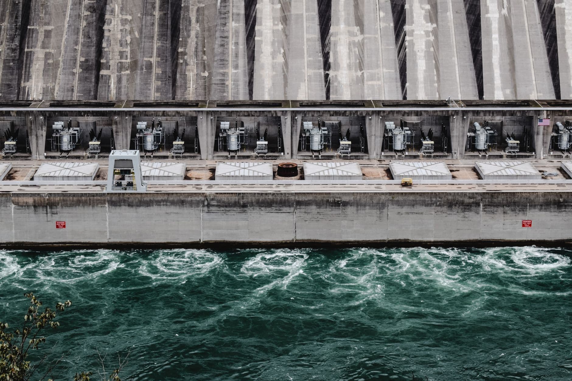
Photo by Arthur Shuraev on Pexels
This isn't just about water; it's about the psychological shift of living in a "disposable" zip code. Imagine buying a home knowing the city council has an 80-year sunset clause on your neighborhood. It changes the way you plant a tree or paint a fence. You aren't a steward of the land anymore; you're a long-term tenant of a geological hazard. Neatsville was the beta test for this feeling of profound impermanence.
Engineering the Void
What fascinates me is the precision of the erasure. When the Green River was dammed, it wasn't a chaotic flood. It was a calculated rise. The engineers knew to the inch where the water would stop. This level of control suggests that we are no longer at the mercy of nature, but rather, we are negotiating with it using our own destruction as the currency. We trade a town for a reservoir, a street for a spillway.
- The original Neatsville was settled around 1800.
- By 1900, it was a thriving hub with a sawmill, gristmill, and carding factory.
- The Green River Lake project, authorized by the Flood Control Act of 1938, eventually claimed 8,200 acres of land.
- Today, the "new" Neatsville is a tiny cluster of homes, a shadow of the original footprint.
I find myself wondering if the people who lived on Oak Street felt the water coming years before the gates opened. There is a specific kind of grief in watching your geography be reclassified as "infrastructure." We are seeing this now in places like the Isle de Jean Charles in Louisiana. It’s not just that the land is sinking; it’s that the state has decided the cost of holding back the sea is higher than the value of the memories stored there. The ledger has been balanced, and the town lost.
The Psychology of the Temporary
If we accept that towns have expiration dates, do we stop caring about their beauty? If a street is designed to be underwater or abandoned in fifty years, do we bother with the ornate cornices or the sturdy brickwork? I worry that the "Managed Retreat" era will lead to an aesthetic of the ephemeral—plastic, light steel, and pre-fab structures that can be struck like a stage set when the sirens go off.

Photo by miroslavkaclik on Pixabay
There’s a hidden cost to this efficiency. When you remove a street name like Oak Street, you aren't just changing a sign; you're clipping a neural pathway of the community. In Neatsville, the physical removal of the landmarks meant that within two generations, the town became a myth. It exists in the archives of the Army Corps, but it has been successfully deleted from the physical reality of Kentucky. Is this the future of our map? A series of flickering lights that we turn off when the maintenance gets too expensive?
What This Actually Means
We are witnessing the birth of the "Disposable Town" as a standard urban planning model. This isn't a failure of design; it is the design. As ecological volatility increases, the most "sustainable" thing a city can be is removable. We are moving away from the Roman ideal of the Eternal City and toward a more nomadic, engineered existence where our loyalty to a place is contingent on the current water table.
This realization is both terrifying and oddly liberating. It suggests that our future isn't about hunkering down and fighting the elements, but about learning how to pack up gracefully. Neatsville was a pioneer in a world that didn't know it was about to become temporary. Now, as we look at our own streets, we have to ask: are we building a legacy, or are we just occupies of a space that is already scheduled for demolition?
Maybe the real lesson of Neatsville isn't that the water took the town, but that we let the engineers take the map. We’ve traded the permanence of place for the utility of the system. I’m not sure yet if that’s a fair trade, but I know that when I look at a map now, I don't see ink. I see a suggestion.
Quick Answers
Where was the original Neatsville located?
It sat in the lowlands of Adair County, Kentucky, along the banks of the Green River, a prime spot for 19th-century industry that became a liability once the river was dammed.
What happened to the residents?
Most were relocated to the "New Neatsville" on higher ground or scattered to nearby towns like Columbia, as the government purchased their land through eminent domain for the reservoir project.
Is 'Managed Retreat' common today?
Yes, it is increasingly used in coastal areas and floodplains where the cost of building sea walls or levees outweighs the economic value of the property being protected.
Can you still see any of the old town?
Only if the lake levels drop significantly during a severe drought; otherwise, the foundations of the old mills and the original Oak Street remain submerged under the Green River Lake.


