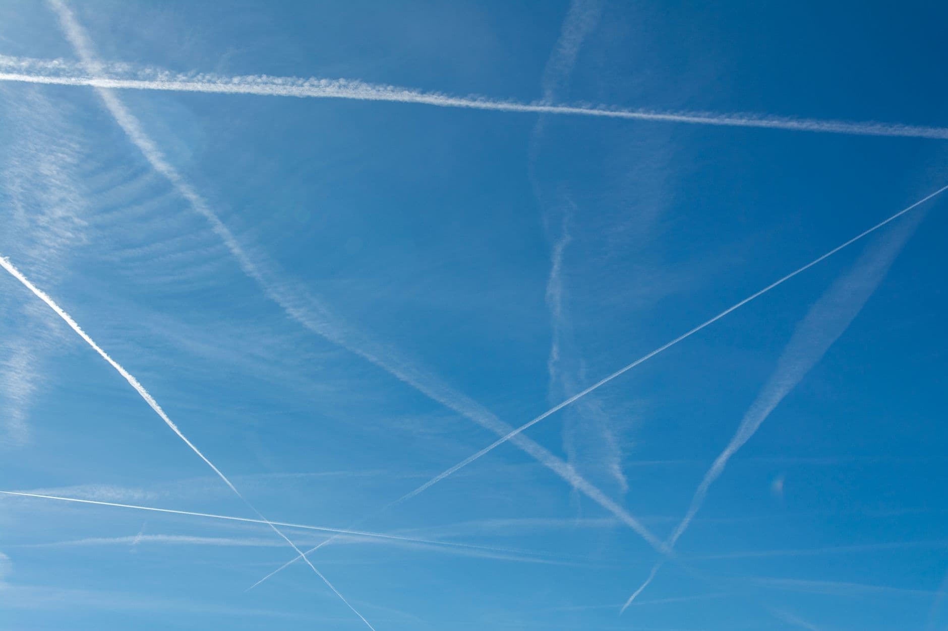
The Ghost of 1950s Navigation
Commercial aviation is currently operating on a geographic logic that predates the internet. For decades, pilots have followed rigid, jagged flight paths—the equivalent of driving through a city using only ninety-degree turns—because ground-based radar and antiquated radio beacons couldn't reliably track aircraft over the open ocean or remote poles. This technical limitation forced a massive, invisible inefficiency into the sky, leading to thousands of tons of excess fuel burned simply because we couldn't trust a plane to deviate from a pre-defined line.
We are now seeing the collapse of that constraint. With the deployment of SpaceX’s Starlink and the rise of high-cadence satellite tracking, the 'Great Circle' inefficiency is finally being dismantled. Instead of flying fixed highways, aircraft are beginning to utilize dynamic, real-time routing that adapts to atmospheric conditions second-by-second. This isn't a minor tweak; it is a fundamental shift in how we move mass through the atmosphere.
The Failure of Sustainable Aviation Fuel
The industry has pinned its green hopes on Sustainable Aviation Fuel (SAF), but the math is grim. To replace even 10% of global jet fuel with biofuels would require an agricultural footprint that competes directly with food production, and the current cost is roughly three to five times higher than traditional kerosene. It is a supply-chain nightmare that masks a deeper truth: the most sustainable gallon of fuel is the one you never burn in the first place.
Dynamic routing addresses the core physics of the problem. By utilizing low-earth orbit (LEO) satellites, aircraft can now maintain constant, high-bandwidth connectivity regardless of their location. This allows for 'weather-riding'—adjusting altitudes and headings to catch tailwinds or avoid headwinds with a precision that was impossible five years ago. On a typical long-haul flight from London to New York, a mere 1% increase in routing efficiency translates to thousands of pounds of CO2 prevented from entering the upper atmosphere.
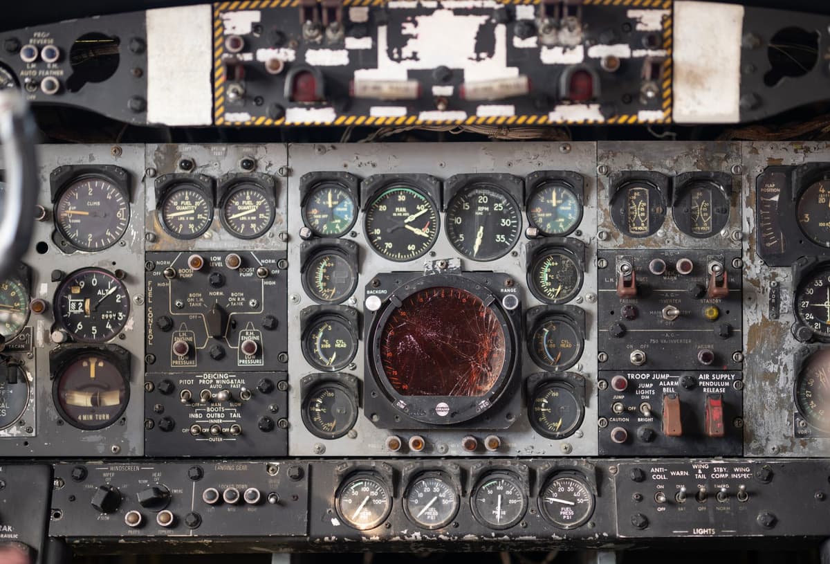
Photo by Miguel Cuenca on Pexels
Real-Time Atmospheric Exploitation
Modern weather patterns are not static, yet our flight corridors have been. The jet stream moves, fluctuates, and pulses. High-cadence tracking means that an aircraft can now receive updates every few seconds rather than every few minutes, allowing flight computers to calculate a 'least-resistance' path in real-time. This turns the atmosphere from an obstacle into a propellant.
- Reduced Separation Minima: Better tracking allows planes to fly closer together safely, opening up the most efficient altitudes that were previously 'full.'
- Contrail Mitigation: Satellites can help pilots identify high-humidity zones where contrails form, allowing for slight altitude adjustments that significantly reduce the non-CO2 warming impact of flight.
- Direct Routing: Eliminating the 'zig-zag' requirements of ground-based navigation saves approximately 3% to 5% of total fuel burn globally.
This shift represents a $15 billion annual saving for the global aviation industry if fully implemented. The technology is no longer the bottleneck; the regulatory framework is. Air traffic control systems in the U.S. and Europe are still grappling with how to manage a sky where every plane is on its own unique, optimized path rather than a predictable highway.
What This Actually Means
The transition to satellite-based dynamic routing is the most significant environmental lever we have in aviation because it requires no new engines and no new fuel chemistry. It is a software and data problem. By treating the sky as a fluid, dynamic environment rather than a map of fixed roads, we can strip away the structural waste that has defined the jet age since its inception.
However, this requires a level of international cooperation that usually eludes us. For dynamic routing to work at scale, national airspaces must be integrated, and data must be shared across borders in real-time. If we can achieve that, we can reduce the carbon footprint of flight by nearly 10% without inventing a single new miracle molecule. The invisible highway is being torn up, and it is about time.
Quick Answers
Is this just about avoiding storms?
No, it is about exploiting wind vectors. Even in clear weather, a slight shift in heading to catch a stronger tailwind can save hundreds of gallons of fuel over a long-haul journey.
Why didn't we do this with older satellites?
Legacy satellites had high latency and gaps in coverage, especially over the poles. LEO constellations like Starlink provide the constant, high-speed data link required for millisecond-precision flight adjustments.
Will this make flights faster?
In many cases, yes. By optimizing for wind and removing the requirement to fly over specific ground waypoints, flight times can be reduced by 10 to 15 minutes on transoceanic routes.


