Progress is rarely a tide that lifts all boats; more often, it is a flood that chooses which houses to drown. In the middle of the twentieth century, the United States government engaged in a massive, cold-blooded restructuring of the American landscape under the guise of the Flood Control Act of 1938. For the people of Neatsville, Kentucky, this wasn't an abstract policy debate. It was the literal end of their world as the Army Corps of Engineers transformed a living, breathing community into the sediment-heavy floor of the Green River Lake reservoir.
We talk about these projects today as triumphs of civil engineering, focusing on the megawatts of power generated or the millions of dollars in tourism revenue brought in by recreational boating. We rarely talk about the vernacular architecture—the general stores, the hand-hewn barns, and the organic urbanism of river-valley life—that was treated as mere debris to be cleared before the water arrived. This was hydraulic erasure, a process where the federal government decided that some geographies were worth more as containers for water than as homes for people.
The Architecture of Forced Obsolescence
Neatsville was not a collection of shacks; it was a calibrated response to the geography of the Green River valley. By the 1960s, it possessed a layout defined by proximity to the water and the fertile bottomlands that sustained it. When the federal government moved in, they didn't just buy property; they dismantled a social ecosystem. The process was clinical. Appraisers arrived to put a dollar value on memories, and once the checks were cut, the demolition began.

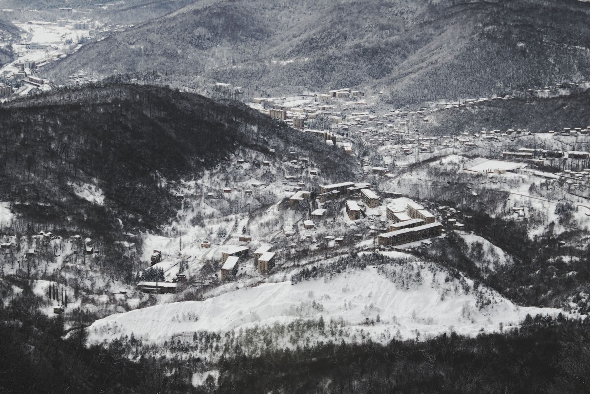
Photo by Letícia Alvares on Pexels
This wasn't just about moving people; it was about the destruction of a specific type of American urbanism. Appalachian towns like Neatsville were built on a scale that prioritized human connection and agricultural necessity. By flooding these valleys, the government replaced a complex, self-sustaining community with a mono-functional infrastructure project. The buildings that weren't moved were burned or bulldozed to prevent them from becoming underwater hazards for future jet-skiers. This was a literal scrubbing of the landscape to make way for a state-sanctioned version of nature.
The Calculation of Sacrifice
The logic used to justify the drowning of Neatsville was rooted in a utilitarian calculus that viewed Appalachia as a sacrifice zone. The Army Corps of Engineers argued that the 8,210-acre reservoir would provide flood control for downstream cities and create a massive engine for the recreation economy. In their view, the loss of a few hundred residents and a historic town square was a small price to pay for the safety of Louisville or the convenience of a new state park.
- The Green River Lake project cost approximately $32.4 million at the time of its completion in 1969.
- Over 300 families in the region were forced to relocate, often receiving payments that did not cover the cost of comparable land on higher, less fertile ground.
- The project successfully mitigated millions in downstream flood damage, but it did so by permanently destroying the tax base and cultural heritage of the upper valley.
This trade-off is the hallmark of mid-century planning. It assumes that central authorities have the moral right to decide whose history is worth keeping and whose is expendable. The 'recreation' that replaced Neatsville is a sterilized version of the outdoors, designed for consumption rather than habitation. You can boat over the spot where the Neatsville post office once stood, but you will find no plaque on the surface of the water to tell you what was stolen to make your weekend possible.
The Ghostly Legacy of Hydraulic Engineering
There is a peculiar cruelty in the way we treat these submerged ruins. Unlike an abandoned city in a desert, which remains as a testament to its inhabitants, a drowned town is intentionally hidden. The water acts as a veil, obscuring the violence of the displacement. We see a beautiful lake; we do not see the foundations of a schoolhouse or the stumps of an ancient orchard. This is an engineered amnesia that allows the state to bypass the messy reality of what it destroyed.
When the water levels drop during periods of extreme drought, the ghosts of Neatsville occasionally resurface. Foundation stones and rusted machinery emerge from the silt like bones from a shallow grave. These moments are reminders that the 'erasure' was never fully successful. The town remains there, a silent witness to a period of American history where we believed we could solve any social problem with enough concrete and a large enough dam.
What This Actually Means
The story of Neatsville is a warning about the dangers of top-down infrastructure that lacks a conscience. When we prioritize regional 'efficiency' over local 'place,' we lose the very thing that makes a landscape meaningful. The drowning of Appalachian towns wasn't a tragedy of nature; it was a choice made in air-conditioned offices by people who would never have to live with the consequences of their maps.
We must stop viewing these reservoirs as natural features and start seeing them for what they are: monuments to a specific kind of institutional arrogance. Every time we enjoy a lake created by federal flooding, we are participating in the quiet celebration of an erasure. We owe it to the displaced to acknowledge that the 'public good' was built on the ruins of their private lives.
Ultimately, the legacy of Neatsville teaches us that infrastructure is never neutral. It is always an expression of power. Until we learn to value the organic urbanism of small communities as much as we value the flood-control metrics of major cities, we will continue to drown our history in the name of a future that doesn't include everyone.
Quick Answers
Was Neatsville the only town lost this way?
No, hundreds of towns across Appalachia and the Tennessee Valley were submerged by TVA and Army Corps projects between 1930 and 1970.
Did the residents get a choice in the matter?
Technically, no; the federal government used eminent domain to seize the land, leaving residents with little recourse but to negotiate the sale price.
Does anything remain of the town today?
Most structures were razed, but the foundations and some road beds remain at the bottom of Green River Lake, occasionally visible when water levels are low.
What was the primary goal of the dam?
The Green River Lake Dam was built primarily for flood control and to manage water flow for downstream navigation and industrial use.


