The Illusion of Neutral Geography
Geography has always been an exercise in power, but the democratization of map-making has stripped away the professional veneer of the state cartographer. We are living through a transition where the definitive record of our world is no longer held in leather-bound atlases or government archives, but in living, breathing databases like OpenStreetMap (OSM). This shift was marketed as a liberation of data. In reality, it has created a decentralized theater of war where the weapon of choice is the micro-edit.
There is no such thing as a neutral line on a map. Every coordinate represents a claim of ownership, a history of conquest, or a promise of protection. When a volunteer in a high-rise in Shanghai and another in a suburb of Manila both claim the same reef in the South China Sea, the resulting edit war is not a technical dispute. It is a fundamental clash of national identities played out in the metadata. The fragility of this system lies in its foundational premise: that consensus is possible when the participants are ideologically committed to non-compromise.
The Weaponization of the Micro-Edit
The scale of these cartographic skirmishes is staggering. In disputed regions like Kashmir, the Crimean Peninsula, or the Arunachal Pradesh border, the digital lines shift with a frequency that would baffle a traditional surveyor. These are not accidental errors or the work of bored vandals. They are coordinated efforts by digital nationalist groups to establish a 'fact on the ground' that exists purely in the digital consciousness of the world's navigation systems. If the map says it belongs to you, and the world uses the map, the reality of the physical border becomes secondary to the digital perception.
Consider the operational impact of these changes. Thousands of third-party applications—ranging from humanitarian logistics tools to local delivery apps—rely on the OSM API. When a nationalist group successfully reclassifies a disputed territory, they aren't just changing a label; they are rerouting supply chains and influencing the geographic literacy of millions of users. This is cartographic sovereignty in its most raw form. It bypasses the United Nations and the diplomatic corps, speaking directly to the algorithms that govern our daily movements.

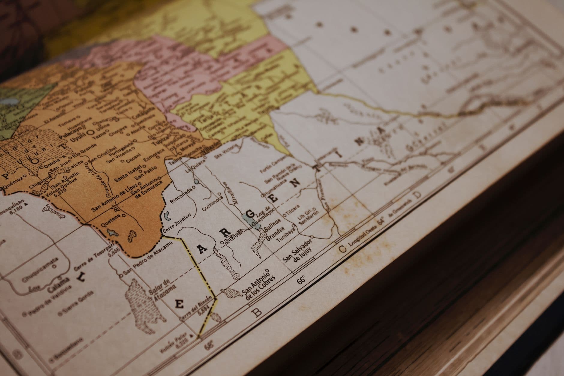
Photo by Tima Miroshnichenko on Pexels
The Failure of Crowdsourced Governance
OpenStreetMap’s governance model was built for a world of shared interests, not state-sponsored information operations. The platform relies on a Data Working Group to arbitrate disputes, yet these volunteers are increasingly tasked with solving problems that have stumped international courts for decades. Asking a small group of hobbyists to decide the 'correct' border of the Golan Heights or the exact status of the Preah Vihear Temple is an absurdity that highlights the structural weakness of the entire open-data movement.
- State-sponsored actors now utilize 'map-washing' techniques to legitimize territorial expansion.
- Automated bots can revert hundreds of disputed edits in seconds, leading to endless loops of cartographic revision.
- The 'on-the-ground' truth rule, a cornerstone of OSM, fails when the ground itself is a militarized zone where no independent observer can safely stand.
We must confront the fact that 'community consensus' is a hollow concept when the community is composed of rival factions with irreconcilable mandates. The platform’s commitment to openness is being used as a backdoor for digital annexation. By allowing anyone to edit anything, we have inadvertently created a system where the most persistent or the most numerous—not the most accurate—determine the shape of the world.
The Infrastructure of Digital Statecraft
This is not merely a debate for academics or cartophiles. It is a matter of national security and economic stability. In 2023, the global geospatial industry was valued at over $500 billion, with critical sectors like autonomous driving and urban planning tethered to the accuracy of these maps. If the underlying data becomes a repository for propaganda, the reliability of the entire digital economy is compromised. A map that cannot be trusted is worse than no map at all; it is a source of active friction and potential conflict.
Digital statecraft now requires a sophisticated understanding of how data platforms are moderated. Governments are beginning to realize that protecting their borders requires more than just patrols and fences; it requires a presence in the revision history of open-source repositories. This leads to an inevitable escalation. As states formalize their participation in crowdsourced platforms, the line between 'volunteer contributor' and 'state agent' blurs until it disappears entirely. The map ceases to be a representation of the world and becomes the primary site of the conflict itself.
What This Actually Means
The era of the 'objective' map is over. We are entering a period of fragmented reality where the borders you see depend entirely on which provider’s API your device is pinging. This is the balkanization of geography. It represents a shift from physical sovereignty to informational sovereignty, where the power to define space is as important as the power to hold it.
For the average user, the takeaway is one of profound skepticism. The digital tools we use to navigate our world are not mirrors of reality; they are arguments about it. When you look at a disputed border on your screen, you are looking at the current ceasefire line of a silent, digital war. We must demand more transparency in how these disputes are mediated, or we risk losing a shared understanding of the very ground we walk on.
Quick Answers
Is OpenStreetMap still reliable for navigation?
In non-disputed areas, it remains one of the most accurate datasets available due to local volunteer knowledge, but in geopolitical hotspots, its accuracy is subject to constant, politically motivated flux.
Can't the platform just lock disputed borders?
Locking borders contradicts the 'open' philosophy of the project and often triggers accusations of bias from all sides, effectively forcing the platform to take a political stance it isn't equipped to defend.
How do governments respond to these digital edits?
Many states now employ digital monitoring teams to ensure their official territorial claims are reflected in major open-source databases, treating OSM edits with the same gravity as diplomatic communiqués.


