The Death of the Hidden Horizon
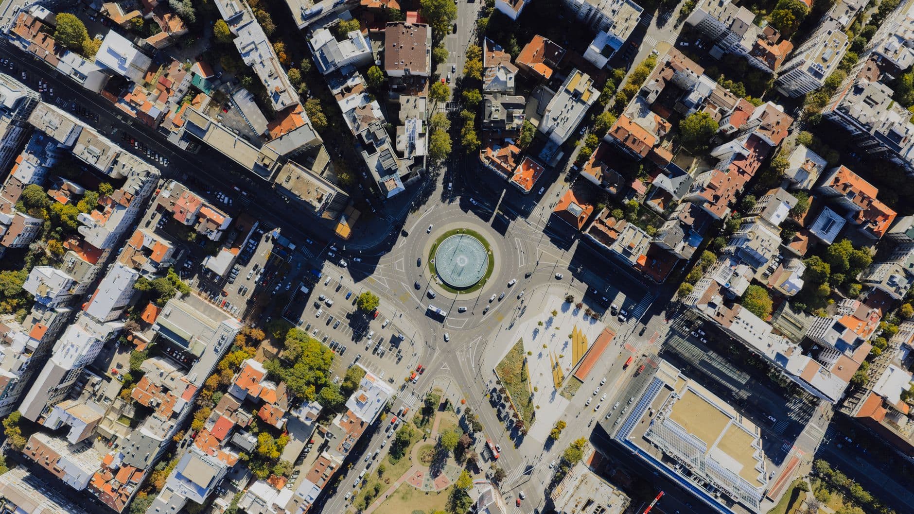
For decades, the ability to pinpoint a specific coordinate based on a handful of pixels or a distorted horizon line was a capability reserved for the basement offices of Langley or the GCHQ. This was a world of 'need-to-know' geography, where the state decided which parts of the earth were visible and which were strategically obscured. That era ended the moment high-performance computing moved from server farms into the home offices of hobbyists. We are witnessing the rise of reverse remote sensing, a process where the physical world is reconstructed through pure computation.
This isn't about looking at a map; it's about generating the map from scratch using raw data points. When a developer utilizes CUDA—NVIDIA’s parallel computing platform—to crunch geometric algorithms, they are essentially weaponizing the math of perspective. By calculating sun angles, coastal curvatures, and atmospheric refraction against known databases, an individual can now achieve a level of spatial precision that would have been classified information in 1995. The earth has nowhere left to hide its secrets from a sufficiently motivated programmer.
The Geometry of Accountability
The technical shift here is one of scale and speed. In the past, identifying a location from an anonymous photograph required a human analyst to manually cross-reference landmarks, a process that could take weeks. Today, a single RTX 4090 GPU can execute trillions of floating-point operations per second. A script can iterate through every possible shoreline on the planet in a matter of hours, comparing the geometric profile of a random island against global satellite datasets like Copernicus or Landsat.
- Parallel Processing: CUDA allows these geometric checks to happen simultaneously across thousands of cores, turning a linear search into a massive, instantaneous filter.
- Sub-meter Precision: Modern algorithms don't just find the island; they can identify the exact rock where a camera was placed by calculating the intersection of sightlines.
- Data Democratization: The availability of high-resolution digital elevation models (DEMs) provides the essential 'ground truth' that these algorithms need to verify their findings.
This capability creates a new form of digital sovereignty. When a government claims a facility doesn't exist, or a corporation denies illegal activity on a remote landmass, they are no longer lying to a public that lacks the means to verify. They are lying to a global network of citizen scientists who possess the mathematical tools to prove them wrong. The asymmetric advantage of the state has been neutralized by the commoditization of silicon.
The National Security Paradox
As the line between amateur curiosity and intelligence tradecraft blurs, we face a profound security dilemma. On one hand, this 'democratized ISR' (Intelligence, Surveillance, and Reconnaissance) is a triumph for transparency. It allows for the independent verification of environmental crimes, human rights abuses, and unauthorized military build-ups. On the other hand, it renders every sensitive installation—no matter how remote—vulnerable to discovery by anyone with $2,000 worth of computer hardware and a GitHub account.
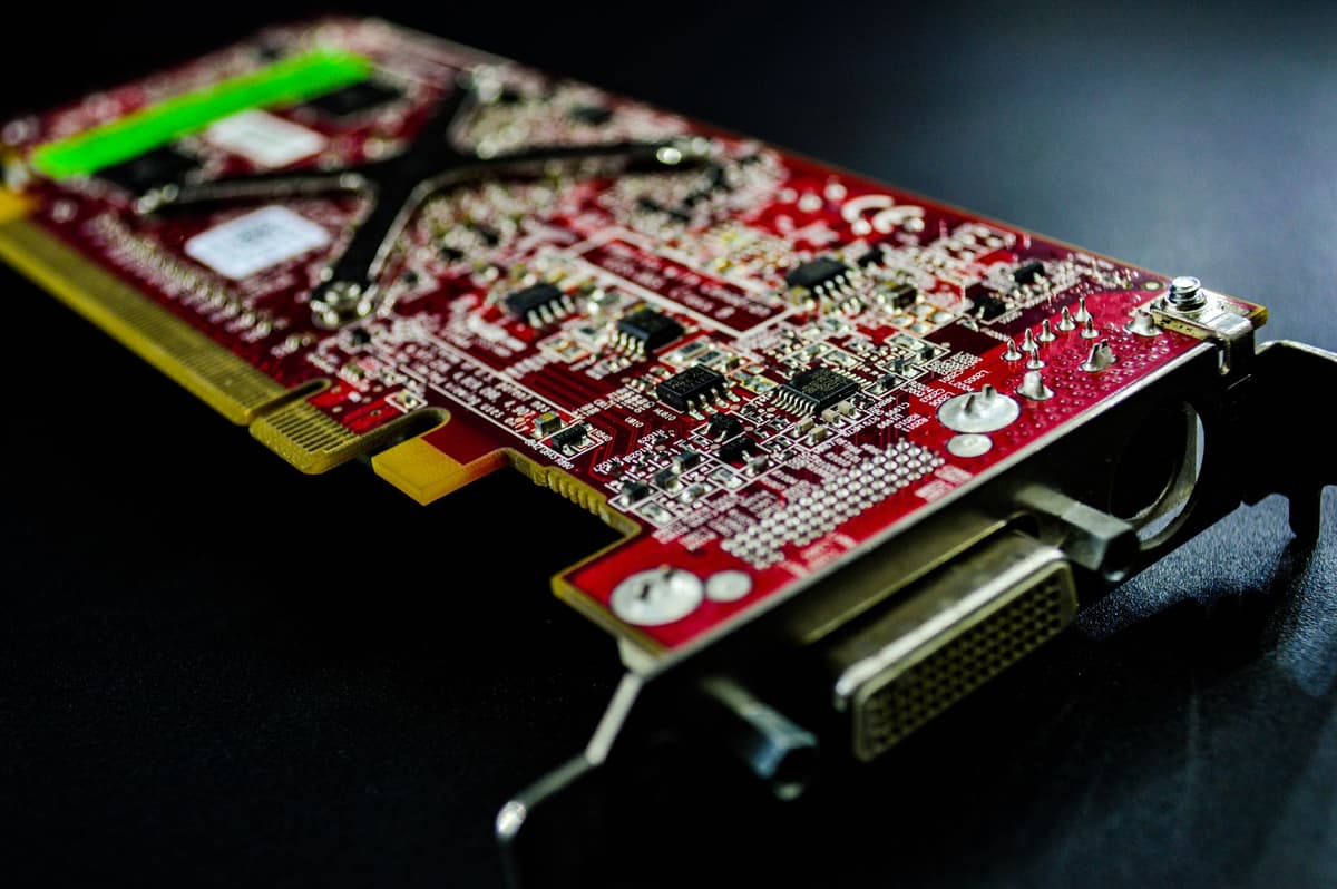
Photo by Armando Are on Pexels
We have entered a period where 'security through obscurity' is a dead strategy. If an island can be found via geometric triangulation of a 10-second video clip, then no base, no test site, and no black-site is truly off the grid. The friction that once protected these locations has been lubricated by optimized C++ code and massively parallelized processing. This isn't just a hobby; it is a fundamental shift in the global balance of information power.
This transition forces a reassessment of what 'privacy' means at a geopolitical scale. Governments are responding by attempting to degrade public satellite data or restrict the export of high-end GPUs, but these are 20th-century solutions to a 21st-century reality. The math is out of the bag. Once the algorithms for reverse-geolocating the world are open-source, the only remaining variable is compute time—and compute time is getting cheaper every day.
What This Actually Means
The amateur cartographer revolution signifies the final transition of the physical world into a searchable database. We are moving toward a 'transparent planet' model where every square meter of earth is indexed, verified, and constantly monitored by a decentralized web of observers. This is not a future state; it is our current reality, manifesting every time a random island is pulled from the void by a CUDA script.
This transparency will be uncomfortable for those who rely on the shadows. It demands a higher standard of truth from institutions because the technical cost of exposure has dropped to near zero. The power that once resided in the hands of a few gatekeepers has been distributed across the network, and with that distribution comes a new, colder form of accountability.
Ultimately, the ability to geolocate anything using geometry and raw power is the ultimate check on institutional narrative. It proves that in the digital age, truth isn't something that is granted by authority—it is something that is calculated. The map is no longer a static document; it is a living, breathing proof-of-work.
Quick Answers
Is this legal for regular citizens to do?
Yes, using publicly available satellite data and open-source programming tools to identify geographic features is entirely legal in most jurisdictions. It falls under the umbrella of OSINT (Open Source Intelligence), which is a standard practice for researchers and journalists.
Does this require a supercomputer?
No, that is the core of the revolution. A modern consumer gaming laptop with an NVIDIA GPU has enough parallel processing power to run complex geospatial algorithms that would have required a mainframe twenty years ago.
Can governments stop people from doing this?
Short of shutting down the internet or banning high-end hardware, it is nearly impossible. While they can censor their own maps, they cannot stop the mathematical process of comparing public imagery or geometric patterns against the physical reality of the earth.


