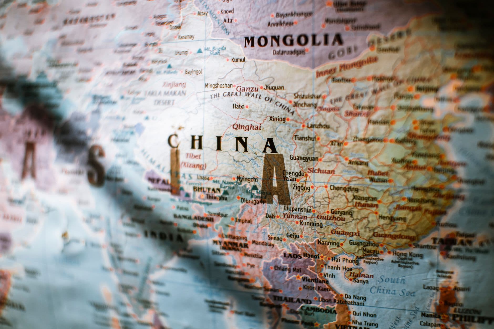
Your Geography Teacher Lied to You
We have been living a lie since 1569, and it’s all Gerardus Mercator’s fault. That guy designed a map for sailors who couldn't find their way out of a bathtub, stretching the world so much that Greenland looks like a continent-sized behemoth capable of swallowing South America whole. In reality, you could fit about fourteen Greenlands inside Africa. Mercator basically gave the Northern Hemisphere a massive pair of platform heels and told the Global South to stand in a hole.
Now, multilateral organizations like the UN are ditching the funhouse mirrors for the Equal Earth projection. This isn't just about making sure school kids don't think Antarctica is a giant white wall surrounding the planet like in some flat-earth fan fiction. It’s a massive vibe shift in how we handle maritime borders. When your map accurately reflects the size of your coastline, it’s a lot harder for a former colonial power to look at your Exclusive Economic Zone (EEZ) and treat it like a rounding error.
The Cartographic Equivalent of Gaslighting
Imagine going to a party where everyone’s height is determined by how close they live to the North Pole. Canada enters the room standing twelve feet tall, hitting its head on the rafters, while Brazil is basically the size of a Corgi. That is the Mercator projection. It’s a psychological operation that has lasted five hundred years. By using the Equal Earth projection—created in 2018 by Tom Patterson, Bernhard Jenny, and Bojan Šavrič—we are finally seeing the world without the "Euro-filter" on.
This shift is quietly causing chaos in diplomatic circles because size, in geopolitics, is the ultimate flex. When you’re negotiating a treaty about deep-sea mining or fishing rights, the visual representation of the area matters. If the map on the table makes a disputed 200-mile zone in the Indian Ocean look like a puddle while the North Sea looks like the Pacific, the psychological leverage is skewed. The Equal Earth projection is the map equivalent of seeing your Tinder date in person and realizing they aren't actually 6'4".
Photo by Mikhail Nilov on Pexels
Maritime Borders and the Big Map Energy
There is a specific kind of panic that happens when a diplomat realizes their country isn't as physically dominant as the map in their office suggested. We are seeing this play out in the Global South, where nations are using these new, accurate projections to recalibrate sovereign economic zone disputes. If you’re a country like Indonesia, which is basically an endless sprawl of islands, the Equal Earth projection finally gives you the "Big Map Energy" you deserve.
- The Greenland Problem: On old maps, Greenland (836k sq miles) looks bigger than Africa (11.7m sq miles). It’s like comparing a Chihuahua to a literal elephant and saying they’re the same weight.
- The Squish Factor: Equal Earth keeps the shapes recognizable but stops lying about the area. It’s the Spanx of cartography—everything is where it should be, and the proportions are actually honest.
- Treaty Aesthetics: International lawyers are now arguing over pixels. If a treaty map shows a 10% larger area for a developing nation’s shelf, that’s billions in potential oil or wind energy revenue.
Changing the map is essentially the world’s most bureaucratic way of saying, "Wait a minute, we're actually huge." It turns out that when you stop shrinking the equator, the people living there start getting a lot more respect at the negotiating table. Who knew that accuracy would be such a buzzkill for colonial legacies?
What This Actually Means
At the end of the day, this isn't just about being nice to the equator. It’s about the fact that maps are the operating system of global power. If your OS has a bug that makes the Global North look 300% more important than it is, you’re going to get biased results in every treaty, trade deal, and climate agreement. By adopting Equal Earth, the UN is finally installing a patch for a 500-year-old software error.
This shift is going to make maritime border disputes much more interesting. You can’t ignore a massive chunk of the ocean when the map finally admits it’s actually massive. Expect a lot of grumpy diplomats from small northern countries suddenly realizing they’ve been benefiting from a cartographic optical illusion since the Renaissance.
In the long run, this is the first step toward a world where we stop treating the Global South like the "bottom" of the map and start treating it like the powerhouse it actually is. It’s hard to ignore a continent when you finally see it in its true, massive, un-shrunk glory. Sorry, Mercator, your time is up; the world isn't a cylinder, and Greenland needs to sit down.
Quick Answers
Wait, is Greenland actually small?
It’s not tiny, but it’s about the size of Mexico, not the size of all of Africa; Mercator just gave it a really aggressive ego boost.
Does a map really change a border?
Technically no, but it changes the psychological leverage during negotiations—it’s much harder to bully a country that looks massive on the official UN documents.
Why did we use the bad map for so long?
Because it’s great for sailing in a straight line, and humans are notoriously lazy about changing things once they’ve been printed in a billion textbooks.
Is the Equal Earth map perfect?
No map is perfect because you can't flatten a sphere without breaking something, but at least this one doesn't treat the equator like a discarded scrap of paper.


