
The Horror Of An Unlabeled Horizon
I recently saw a post on Hacker News about an app that lets you point your smartphone at a mountain range to identify its geological strata in real-time. It’s a miracle of modern engineering designed specifically for the person who stands at the edge of the Grand Canyon and thinks, "This is fine, but I really wish I was looking at a Wikipedia sidebar instead." We have finally reached the pinnacle of human evolution: the inability to perceive a tectonic plate shift without a push notification.
There was a time when looking at a landscape required a base level of curiosity or, god forbid, a book. Now, we’ve successfully outsourced the act of noticing things to a computer vision model that’s likely been trained on millions of photos of people’s lunches. It’s the ultimate solution for the modern hiker who wants the aesthetic of the great outdoors without the crushing burden of having to wonder about anything for more than four seconds.
The Landscape As A User Interface
Silicon Valley’s latest obsession is turning the physical world into a "database," because apparently, the planet is just a poorly organized Excel spreadsheet that needs a better UI. The proponents call this "situated discovery." In reality, it’s just a way to make sure you never have to look away from your screen, even when you’re standing in the middle of a national park. Why experience the sublime scale of deep time when you can view a 2D pop-up explaining that the limestone you're standing on is 300 million years old?
- It turns a 500-mile-long mountain range into a series of clickable hotspots.
- It ensures that no one ever has to experience the "silence" of nature, which we all know is just a lack of audio-visual stimulation.
- It provides a convenient excuse to keep your $1,200 glass rectangle out at all times, just in case a cloud passes by and you need to know its exact water vapor density.
This movement assumes that the primary problem with the natural world is its lack of metadata. We’ve spent decades digitizing every book and song, and now we’re coming for the dirt. If we can’t put a blue checkmark on a volcano, does the volcano even exist? Probably not in any way that matters to a venture capitalist.
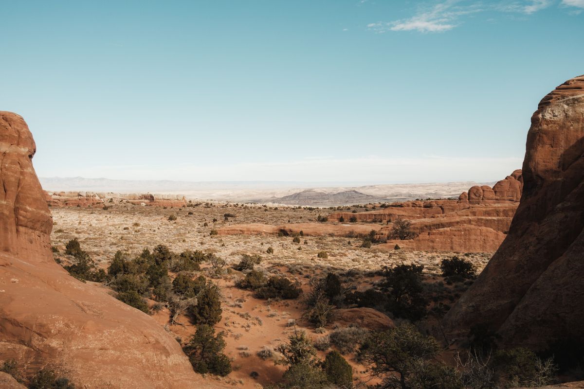
Photo by Airam Dato-on on Pexels
Deep-Time History For The Attention-Deficit Generation
Geology used to be the study of things that move so slowly they make a snail look like a Formula 1 car. Now, we’ve managed to gamify it. By turning the Earth into a "user interface," we’ve effectively reduced the history of our planet to a series of collectibles. You’re not learning about the Proterozoic Eon because you care about the oxygenation of the atmosphere; you’re doing it because the app gave you a "Lithosphere Legend" badge and a satisfying haptic buzz.
There is something deeply ironic about using a device made of rare-earth minerals—mined by destroying the very landscapes we’re "admiring"—to tell us how beautiful those landscapes are. We are using the byproduct of ecological destruction to facilitate a deeper connection with ecology. It’s the kind of logic that only makes sense if you’ve spent the last six years living in a windowless office in Palo Alto.
What This Actually Means
What this actually means is that we are losing the ability to coexist with anything that doesn't have a search bar. The goal of Augmented Earth isn't to teach you geology; it's to ensure that the physical world is never allowed to be more interesting than the software running on top of it. We are terraforming our own perception, flattening the world into a series of digestible data points so we don't have to deal with the messy, unquantifiable experience of just being outside.
In a few years, we won't even see the trees. We’ll see the "Carbon Sequestration Units" with their real-time market value hovering in the top right corner of our smart glasses. We’ll walk through a forest and see nothing but an interactive database of lumber prices and botanical Latin names. It’s a vision of the future where everything is known, everything is labeled, and absolutely nothing is felt.
Ultimately, the "Augmented Earth" isn't about the Earth at all. It’s about our desperate, neurotic need to feel like we’re in control of a planet that is increasingly making it clear we are not. If we can just map every rock and tag every tectonic fault, maybe we can ignore the fact that the sea level is rising. Or, at the very least, we can watch the glaciers melt in 4K with a really informative overlay explaining exactly how many gigatons of ice are disappearing per second.
Quick Answers
Is this app actually useful for students?
Sure, if the goal is to make sure students never develop the spatial reasoning skills required to read a physical map or identify a rock without a Wi-Fi signal.
Doesn't this make science more accessible?
It makes "looking at things" more accessible, which we’ve confused with science; real science usually involves a bit more than pointing a camera and waiting for a label to appear.
What's wrong with wanting to know more about the world?
Nothing, but there's a significant difference between active inquiry and passive data consumption that treats the planet like a glorified museum exhibit.
Will this help with conservation?
Unlikely, as it’s much easier to take a photo of a "situated discovery" and post it to Instagram than it is to actually do anything about the environmental degradation the app is documenting.**


