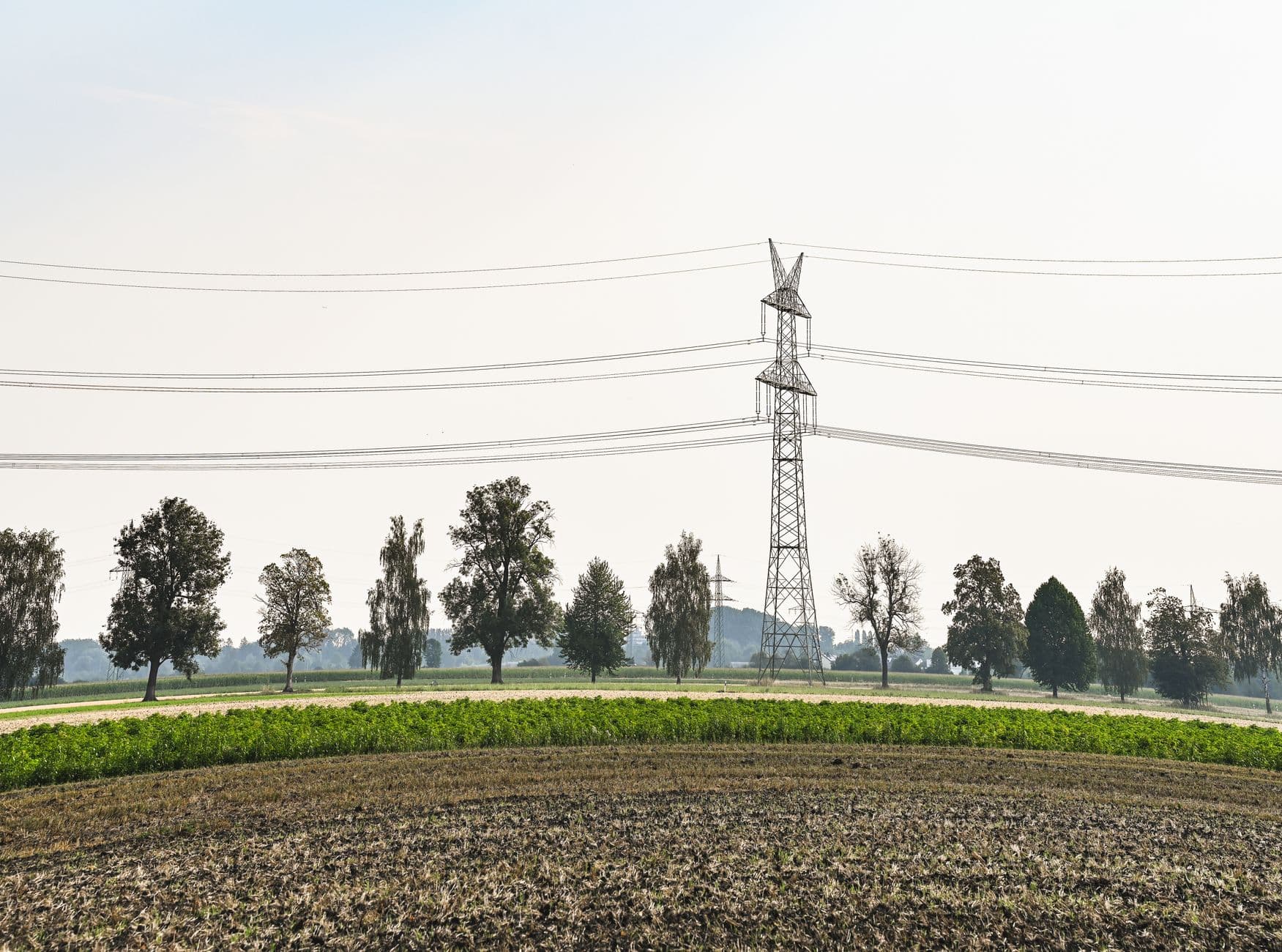
When you zoom in close enough on a digital map, you expect to find reality. Instead, we are building a hyper-efficient machine that stares directly at centuries-old human sustenance and concludes nobody is home. It makes me wonder what happens when the very tools we built to expose corporate exploitation end up quietly drawing the blueprint for it.
Take the European Union Deforestation Regulation. Passed in 2023, the EUDR demands something that sounds entirely reasonable on paper: if you want to sell beef, soy, palm oil, coffee, cocoa, rubber, or wood into the world's largest single market, you must prove your product did not come from recently deforested land. You have to provide the exact geographic coordinates of the plot where your crop was harvested. Traceability sounds righteous. Everyone wants clean chocolate and ethical coffee. But once you demand millions of microscopic polygons from rural supply chains across the Global South, you run into a practical wall. Who has the time, the budget, and the software to map millions of tiny family plots?
Enter OpenStreetMap, community remote sensing, and algorithmic land classification. What happens next is a fascinating, quiet disaster.
The Grid That Cannot See an Orchard
OpenStreetMap is one of the most generous experiments the internet ever produced. Millions of volunteers mapping paths, roads, and village centers out of pure communal goodwill. But algorithms and remote contributors categorize the physical world through rigid taxonomies. A square is either farmland, forest, or residential.
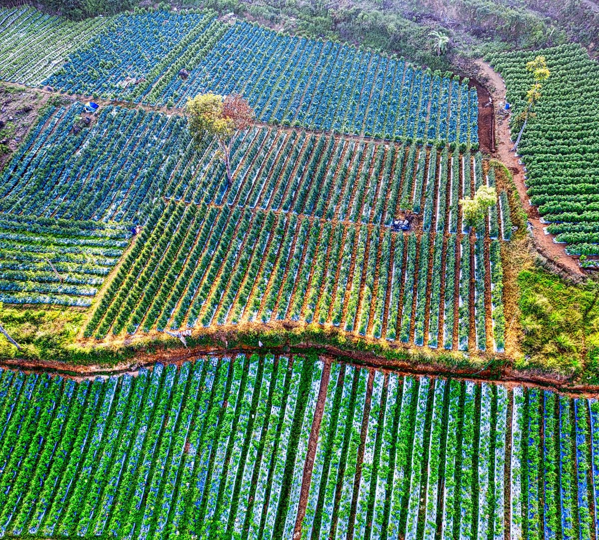
Now look at an Ethiopian agroforestry plot or a traditional shaded cocoa farm in Ghana. High canopy trees intermingle with fruit trees, medicinal shrubs, and cash crops growing beneath the shade. To a satellite lens combined with a volunteer's quick click on a laptop in Berlin, that does not look like agriculture. It has no monoculture rows. It lacks tractor paths. It registers as unbroken canopy cover, or worse, scrubby brush.
Here is where the definition starts biting its own tail:
- If the map classifies a multi-layered food forest as dense primary timber, any pruning, renewal, or rotation registers algorithmically as illegal deforestation.
- If the satellite classifies pastoral rangelands—used for centuries by rotating herds—as uncultivated brush, the system tags the plot as unmanaged, idle scrub.
- If a community's communal tenure lacks explicit cadastral survey lines, the database leaves the polygon utterly blank.
In trying to verify ethical sourcing, the map turns nuanced, biodiverse food systems into an either/or binary that flat-out refuses to acknowledge how people actually grow food outside the industrial model.
Making People Legally Invisible by Accident
I keep turning over the phrase "phantom acreage" in my head, because it reveals something weird about how computers create value. When land is tagged as empty or idle in global databases, it does not just stay a harmless metadata glitch. It becomes an invitation.
About 2.5 billion people depend on indigenous and customary land systems for their daily bread, yet roughly half of the world's landmass is held under tenure that has zero formal paper deed. When corporations scramble to prove their supply chains are squeaky-clean for European regulators, they search for verified, non-forest polygons. If an automated GIS model marks ancestral pasture or shifting cultivation fallows as vacant savannah, that acreage instantly shows up on corporate procurement dashboards as low-risk real estate.
It is the old colonial doctrine of terra nullius—nobody's land—reinvented as a software artifact. A global agribusiness looking to set up certified sustainable plantations does not have to bulldoze a documented forest anymore. They can simply buy land that the algorithms swear was completely unused. The crowd-sourced map said there was nothing there, so clearing the people grazing their cattle there becomes an administrative non-event.
How did our push for ecological accountability end up resurrecting the easiest excuse to displace smallholders? The tragedy is that nobody in this chain is acting like a cartoon villain. The European regulators want to protect biodiversity. The open-source mappers want public knowledge. Yet the interaction of their incentives produces a neat little machine for systematic dispossession.
The Arrogance of the Top-Down Pixel
We trust pixels far more than we trust local testimony. Satellites pass overhead, crunch multispectral vegetation indices, and hand us a percentage of leaf-cover change. It feels clean, math-driven, and objective. It lets an executive in Zurich review supply chain compliance without ever talking to a farmer in Sumatra.
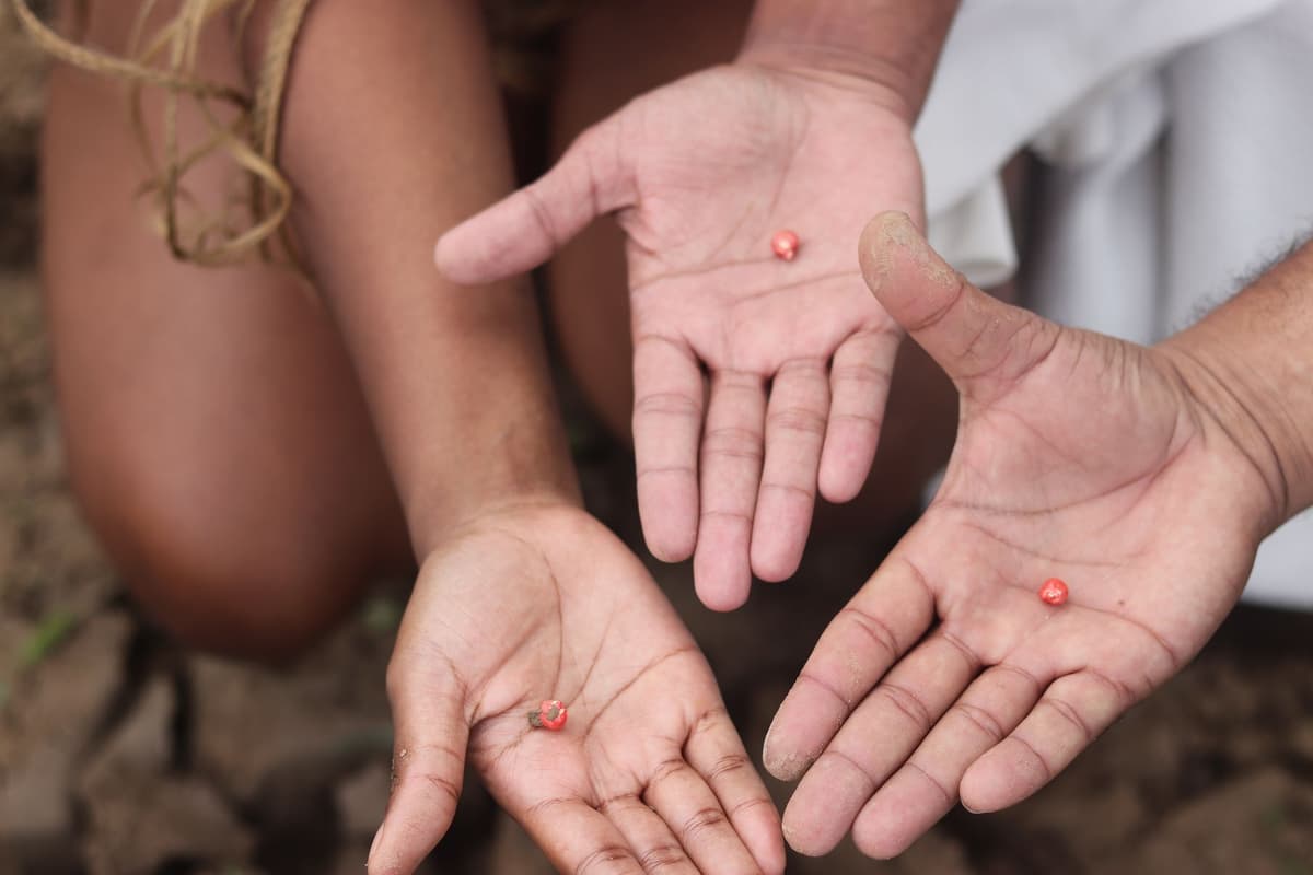
Yet these classification systems systematically struggle with time. Traditional agriculture is rarely static. It shifts, rests, burns, regenerates, and adapts. A plot left fallow for five years to restore nitrogen is not abandoned territory. It is an intensely active agricultural process. But a European due-diligence algorithm running off a five-year baseline treats any fallow clearing as sudden habitat loss.
By treating the messy, human surface of the earth as a series of static green or brown pixels, we make industrial monoculture look tidy and indigenous stewardship look like a violation. Monoculture palm oil neatly fits into a database schema. A polycultural forest garden completely breaks the schema. Guess which one gets financed?
What This Actually Means
Transparency is not the same thing as comprehension. We have spent the last decade assuming that if we just collect enough high-resolution data on global supply chains, moral clarity will naturally follow. We assumed seeing everything meant understanding everything.
What this mapping blind spot shows is that when you quantify a landscape using tools built for industrial standardization, you penalize anyone who refuses to produce food like a factory. If your livelihood does not draw clean borders on a map, our newest compliance algorithms treat you as an ecological hazard or simply erase your existence so someone else can claim your soil.
If we want genuinely ethical food, we have to become comfortable with ambiguity that cannot be resolved from orbit. We need to accept that the healthiest agroecological systems on this planet look, to a satellite, suspiciously like wilderness. The moment we insist that everything we eat must fit onto a standardized digital canvas, we are not cleaning up our supply chains. We are just sanitizing the paper trail while the ground slips away beneath someone's feet.
Quick Answers
Why are tools like OpenStreetMap involved in corporate supply chains?
New laws like the EUDR require companies to prove the exact spatial origin of commodities to guarantee zero deforestation. Open-source mapping and satellite tools provide an accessible, low-cost way to track these boundaries globally.
How does an algorithm misclassify traditional farmland?
Remote sensing models rely on visual signatures like row crops or bare soil to identify farms. Agroforestry and shaded polycultures mimic natural forests from above, while rotating pastoral fallows get tagged as unmanaged or idle brush.
Does this actually cause land grabs?
Yes. When algorithms mark customary communal lands as idle or uncultivated, agribusinesses and investors target those areas as low-conflict, deforestation-free zones for new plantations, displacing the people actually living there.


