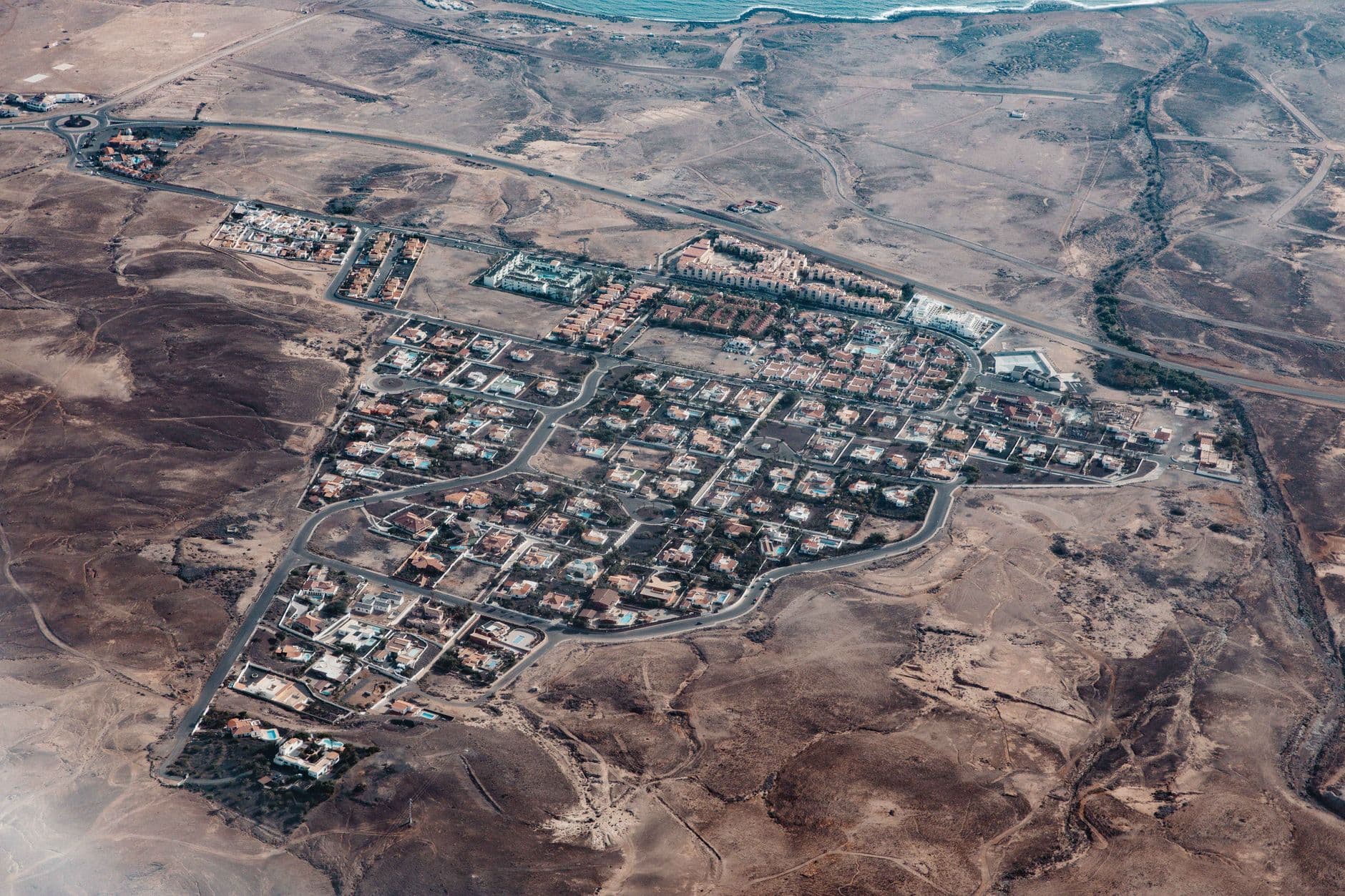
The High Art of Walking in a Straight Line
Cities are designed by people who apparently believe humans move like chess knights—two steps forward, one step aside, always at right angles, and never through the grass. We spend billions on ornamental plazas and grand boulevards, only for the entire population to collectively decide that the most efficient way to get to the subway is a muddy diagonal line through a flowerbed. These 'desire paths' are the ultimate silent protest, a physical manifestation of every resident saying, 'Your sidewalk is in the wrong place, and I refuse to respect it.'
For decades, the response from city hall was to put up a 'Keep Off the Grass' sign or, if they were feeling particularly spiteful, a small iron fence. They treated pedestrian intuition like a municipal bug that needed to be patched out. But the internet, in its infinite capacity for chaos, has finally given us a way to win. By logging into OpenStreetMap (OSM) and marking that dirt track as a 'path,' you aren't just editing a map; you are gaslighting the city into admitting you were right all along.
OpenStreetMap is the Wikipedia of geography, except instead of arguing about the discography of a 90s alt-rock band, people are meticulously documenting every single hole in a chain-link fence. When a shortcut shows up on OSM, it starts showing up on delivery apps, fitness trackers, and tourist maps. Suddenly, the 'unauthorized' path has more traffic than the official sidewalk. The city planners are left staring at a digital reality they didn't authorize, forced to choose between looking incompetent or bringing out the asphalt.
The Professional Humiliation of Top-Down Planning
There is something deeply satisfying about watching a $200,000 traffic study get dismantled by a pack of commuters who just want to save forty-five seconds on their walk to work. Traditional urban planning is obsessed with 'sightlines' and 'spatial harmony,' concepts that exist primarily to justify the existence of architecture firms. Meanwhile, the actual users of the space are obsessed with not being late for their shift at the hospital. It’s a classic conflict between the aesthetic ego of the designer and the kinetic reality of the resident.
By the time a city council approves a new park layout, the data is usually five years old and based on a consultant’s fever dream of how 'vibrant communities' should interact. OpenStreetMap operates in real-time. If a construction site leaves a gate open and creates a new corridor, it’s on the map by Tuesday. By Thursday, it has a 4.2-star rating on a hiking app. The democratization of mapping means the 'experts' no longer hold the monopoly on what constitutes a road. If enough people walk it, it’s a road. Deal with it.
This shift represents a total inversion of power. We used to wait for the government to tell us where we were allowed to go. Now, we go wherever we want, document it on a global ledger, and wait for the government to catch up. In places like Washington D.C. or London, these desire paths have become so codified in digital maps that planners are literally surrendering. They call it 'evidence-based design,' which is a fancy way of saying 'we gave up and paved the dirt because everyone was going to walk there anyway.'
The Bureaucracy of the Dirt Track
Of course, the moment a desire path becomes 'official,' it loses its rebellious charm and gains a host of exciting new problems, like liability insurance and ADA compliance. The irony is delicious: the second your favorite shortcut is recognized by the city, they’ll probably close it for six months to install 'safety lighting' and a trash can that costs $4,000. We are successfully forcing the hand of the state, but the state’s hand is notoriously heavy and usually carries a clipboard.
There’s also the digital gatekeeping of the OSM community itself. You haven't lived until you've entered a three-week-long edit war with a stranger in another hemisphere over whether a specific gap in a hedge constitutes a 'path' or a 'footway.' These are the new battles for the soul of the city. Forget town hall meetings where ninety-year-olds scream about parking; the real urbanism happens in the 'History' tab of a geospatial database.
- Step 1: Walk across the grass.
- Step 2: Upload the GPX trace to OSM.
- Step 3: Wait for an algorithm to tell a delivery driver to take that route.
- Step 4: Watch the city public works department show up with a cement mixer three years later.
This isn't just about walking; it's about the erosion of the 'expert' as the sole arbiter of reality. We are crowd-sourcing the shape of our environment. It is messy, it is disorganized, and it completely ignores the beautiful blueprints that some poor intern spent eighty hours rendering in AutoCAD. It’s glorious.
What This Actually Means
We are witnessing the death of the 'Master Plan.' The idea that a single group of people can sit in a room and predict how a million humans will move through a complex environment was always an absurdity, but now it’s a visible absurdity. Digital mapping has turned every pedestrian into a surveyor. When we use OSM to formalize our shortcuts, we are effectively telling the city that their grand vision failed the most basic test: utility.
This trend towards 'desire path' urbanism is a rare win for the individual over the institution. It forces the built environment to adapt to human behavior rather than trying to social-engineer humans into behaving like robots. It’s a blunt, dirty, and effective form of direct democracy. If you want to change your city, you don't need to run for office; you just need to wear out a patch of grass and make sure the internet knows about it.
Ultimately, the most honest parts of our cities are the ones we built ourselves by simply refusing to go the long way around. The fact that city officials are finally being forced to follow our lead is a testament to the power of collective laziness. Long live the shortcut. May your path be straight, your GPS signal be strong, and your local planning department be perpetually annoyed.
Quick Answers
Is it legal to just add paths to OpenStreetMap?
Yes, as long as the path actually exists and you aren't trespassing on private property to create it. Mapping reality isn't a crime, even if that reality annoys a landscape architect.
Do city planners actually look at these maps?
Increasingly, yes, because they realize that if they don't, their 'official' maps will be useless to anyone trying to navigate the city in the 21st century. It's a matter of professional survival.
What if the path I mapped gets paved?
Then you've won. You have successfully used a keyboard to manifest a physical piece of infrastructure. You are now, for better or worse, an urban planner.


